GPR
Not having a clear and accurate map of what’s underground before you start digging can spell disaster for your project. Water, gas, sewer, and high-voltage electrical lines are everywhere below ground and pose a significant danger if damaged. Identifying all potential hazards on your dig site before you break ground won’t just save you time and money, it keeps your crew safe as well.
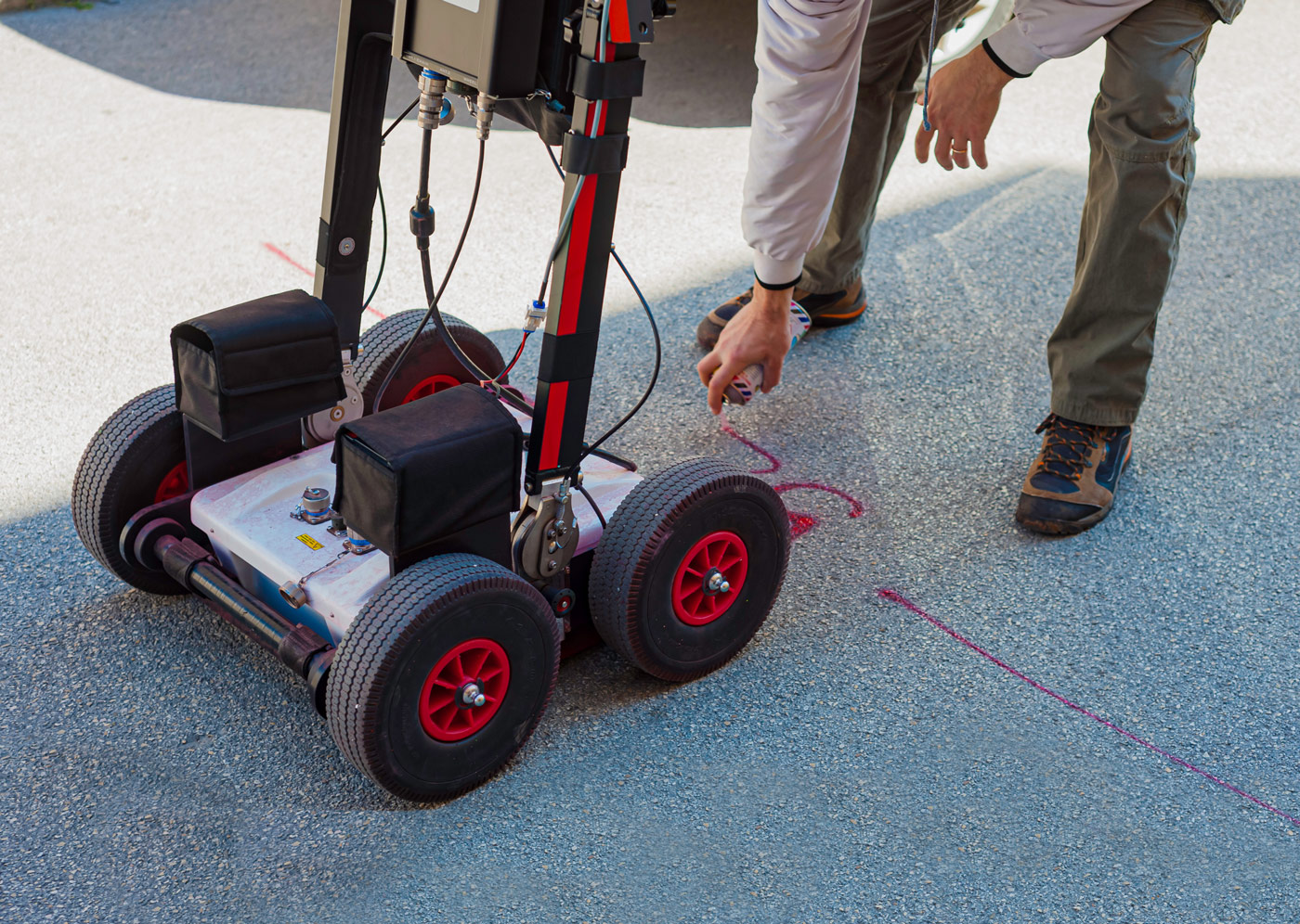
Discovery Hydrovac uses Ground Penetrating Radar (GPR) to discover and map all underground utilities and potential hazards so you can stay on schedule, avoid dig-ins, and provide a safe construction and excavation environment for your crew and anyone nearby.
What Is GPR?
Ground Penetrating Radar is an advanced scanning technology that maps the location and depth of all underground utilities and structures without having to break ground. Unlike traditional location methods—which are labor-intensive, often inaccurate, and time-consuming—GPR can accurately, efficiently, and safely map all potential subsurface hazards.
Discovery Hydrovac’s GPR services are fast and reliable, providing our clients with a comprehensive pre-construction map of the subsurface utility landscape and KMZ files so they can begin their project on schedule.
How Does GPR Work?
GPR uses radar pulses to detect and image underground objects. The GPR’s transmitter emits electromagnetic energy into the ground. When the energy pulse hits an object, it’s reflected back to the surface and to the receiving antenna. The antenna then records the variation in amplitude in the return signal and the two-way travel time. This information provides the location, depth, and possible material of the underground object.
Unlike metal detectors, GPR can locate both metallic and non-metallic objects embedded underneath different materials like soil, rock, concrete, and asphalt. Some subsurface features that wouldn’t show up otherwise include underground voids, old wells, or graves. This provides construction and excavation crews a complete map of their dig site and potential hazards—greatly reducing the risk of a dig-in.
Once all of the data is collected and all utilities have been recorded, we’ll provide a full report with either a 2D printout or a 3D model of the underground landscape.
Call Discovery Hydrovac For Your GPR Needs
Know what obstacles you’re dealing with before you break ground. Discovery Hydrovac can accurately and efficiently map your dig site with GPR, helping you avoid headaches, save money, and protect your crew from accidentally hitting a utility. Talk to one of our industry experts for more information about our GPR services.